About the Nieuwe Hollandse Waterlinie
The Nieuwe Hollandse Waterlinie, or the New Dutch Waterline, is a remarkable 85 km long defense line that runs from the Zuiderzee in the north to the Biesbosch in the south of the Netherlands. It is a unique example of Dutch engineering and innovation, designed to protect the country against attacks by the French and other invading forces.
History of the Nieuwe Hollandse Waterlinie
The Nieuwe Hollandse Waterlinie was built in the 19th century, during a time when the Netherlands was constantly threatened by war and invasion. It was designed to protect the cities of Amsterdam, Utrecht and Rotterdam as well as other important Dutch cities from enemy attacks.
The waterline was created by flooding a large area of land between the Rhine and the Zuiderzee, turning it into an impenetrable swamp that would prevent the enemy from advancing. By flooding the area to a depth of around 40 cm, the waterline made it impossible for the enemy to pass through, effectively turning the area into a natural barrier.
The waterline was used for the first time during the Franco-Prussian War in 1870, when the Dutch army successfully repelled a French attack on the city of Utrecht. During World War II, the waterline was also used to stop the German army from advancing further into the country.
The Nieuwe Hollandse Waterlinie today
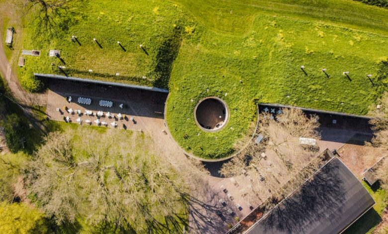
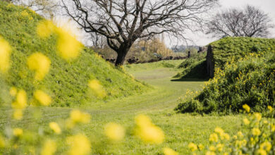
Today, the Nieuwe Hollandse Waterlinie is a popular tourist attraction, with many visitors coming to see the various forts and bunkers that were built as part of the defense line. Many of these structures have been restored and are now open to the public.
In addition to the forts and bunkers, the waterline also features a number of other interesting sites, such as the Castle of Muiden, the Dutch Waterline Museum and the beautiful city of Utrecht. Visitors can explore the waterline by foot, bike, or boat and learn about the history and significance of this impressive engineering feat.
Interesting places near the Nieuwe Hollandse Waterlinie
There are many interesting and historical sites to visit along the Nieuwe Hollandse Waterlinie. Here are some of the top places to visit along the waterline:
Fort Vechten – This is the largest fort on the waterline and was used for storing ammunition and supplies. Today, it houses a museum and a restaurant.
Kasteel de Haar – This stunning castle was built in the 13th century and is one of the largest and most luxurious castles in the Netherlands. It is located near the town of Haarzuilen and is open for tours. Kasteel de Haar is one of the highlights of the province of Utrecht.
The Dutch Waterline Museum – This museum in Fort bij Vechten tells the story of the waterline and its importance to Dutch history. Visitors can explore the fort and learn about the engineering and military tactics used to create the waterline.
Utrecht – This beautiful city is located along the waterline and is a great place to explore Dutch history and culture. It has many museums, historic buildings and picturesque canals.
Fort Nieuwersluis – This fort is a great place to explore the military history of the waterline. It has been restored and is open to the public for tours.
Gorinchem – This historic town is located near the southern end of the waterline and has many interesting sites to explore, including a medieval city wall and a 16th-century town hall.
Fort Altena – Fort Altena was built in the 19th century as part of the Dutch defense system. It was designed to control the waterways of the Biesbosch, which was an important transportation route at the time. The fort features a moat, drawbridge and several defensive walls and towers.
Biesbosch National Park – This stunning natural area is located near the southern end of the waterline and is a great place to explore the Dutch countryside. It has many walking trails and waterways for boating. Biesbosch National Park is one of the most populair nature parks in the Netherlands.


